The Three Passes Trek is considered the hardest multi-day journey to Everest Base Camp. In a period of 17 to 20 days, you ascend to six peaks that are higher than 5300m, climb near vertical terrain, and gaze at four of the world's eight tallest mountains: Cho Oyu (8201m), Makalu (8481m), Lhotse (8414m) and Everest (8848m). Instead of short days followed by acclimatization hikes, the Three Passes trek takes you on long days that end with glaciers, boulders bigger than houses, and valleys straight out of Lord of the Rings. In short, it's the ultimate Everest experience, especially when you organize it in your own, trek it without guides or porters, and pick up amazing friends along the way.
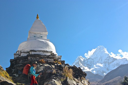
Here's our account of 17 days that were among the most difficult of our lives.
For trekking days 5-8, 9-12, and 13-17, click on the respective links.
NOTE: I took the iPad with me on our trek and wrote most of this trip diary in real-time. Because of that, it doesn't share the same format as our other posts, but it does provide an accurate account of our oscillating excitement and exhaustion on the mountain.
Total Spent Over 17 Days: US$1309 (including flights to/from Lukla, permits, all food and lodging) Average Spent Per Person/Day: US$38.50
Day 1: Kathmandu to Lukla (2840m) to Bengkar (2630m)
Stats: 25 minutes of flying plus 3.5 hours of trekking
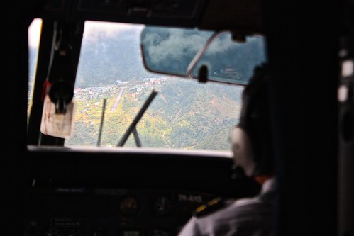
Our 8:30am flight from Kathmandu to Lukla ended up taking off at 1pm, which was a stroke of luck in itself as everyone thought the flights would just be cancelled due to clouds and fog in Lukla. After sitting in the tiny and dirty Kathmandu terminal for 5+ hours, we were beyond excited to board the tiny plane that would fly us into the world's most dangerous airport. Despite the warning of turbulence from the flight attendant, the flight wasn't too bad, and 25 minutes later we were bouncing onto the 500 (or so) meters that make up Lukla's airstrip.
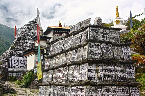
From there, it was a relatively easy walk to Phakding, which we reached in a bit over two hours despite carrying our own heavy packs (13 kilos for me and 19 for Rob BEFORE water).
We had originally planned to make it to Monjo, but because of the flight delay, ended up at Bengkar, where we stayed at the Waterfall Lodge across from a beautiful three-tier waterfall.
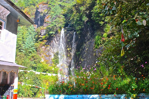
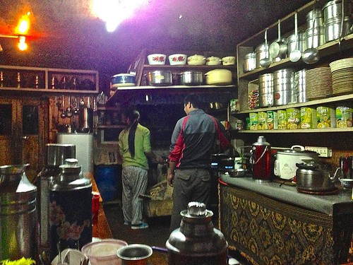
There were quite a lot of waterfalls and flowers on this leg of the trip and the weather was downright warm until sunset. We splurged on a hot shower (300NPR) and had dinner at the lodge, which was prepared by the whole family. By 9pm, we called it a night.
Day 2: Bengkar to Namche Bazaar (3440m)
Stats: 4 hours trekking
My pack felt a bit better today, probably because I wasn't exhausted from the airport, so we were able to make good progress to Monjo, arriving just 45 minutes after we left Bengkar. From here, it was about 3 hours to Namche Bazaar, which included stopping at all the checkpoints and leaving plenty of rest time during the steep 1.5 hour final ascent.
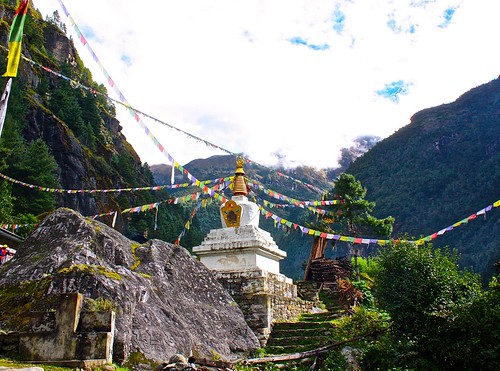
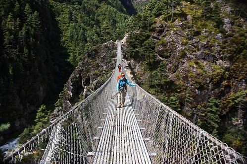
The day started clear but quickly clouded over, which meant we missed our first spotting of Everest. Despite the clouds, we had lovely views of the valley as we crossed the high suspension bridges that zigzagged back and forth over the frothing blue river.
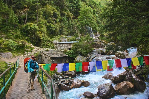
Throughout the morning, we passed yak and mule trains. The dinging of their bells put us into a good rhythm and we overtook several people who weren't carrying their own gear.
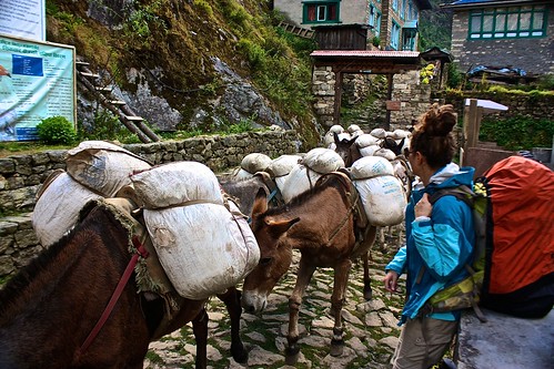
The climb into Namche seemed never-ending and I was downright exhausted when we arrived at 12:45pm. As I collapsed onto a rock wall in the center of town, Rob left to find us a guesthouse and ended up booking one with free wifi! Holiday Namche also had yummy food and clean shared bathrooms, so we were pretty pleased with ourselves and spent the afternoon chatting with other trekkers and looking over the map for the rest of our journey.
Day 3: Day Acclimatization Hike to Khunde (3900m) and Khumjung (3780m)
Stats: 3 hours trekking with day pack
Today was a mandatory acclimatization day in Namche Bazaar, so we weren't in any rush to wake up. When we did get out of bed, this is the view that greeted us. Not bad for a $1 room!
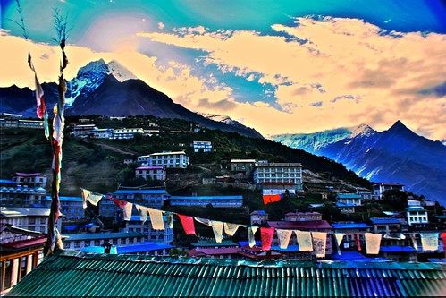
Unfortunately our late start meant few further views as the clouds quickly rolled in and obscured the mountain scenery. Regardless, we still had to trek to 3900m to help us acclimatize to the altitude. We got pretty lost on the way to Khunde, but were pointed in the right direction by two teenagers with a bunch of yaks.
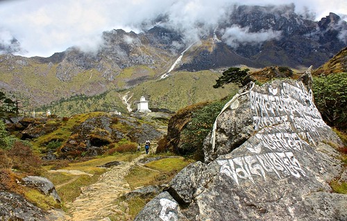
From there, it was a 20 minute walk to Khumjung, where we checked out the many gompas and chatted with the kids filing out of the Hillary School, named after Sir Edmund Hillary, the first Westerner to summit Everest and a huge proponent of improving the Sherpas' livelihood.
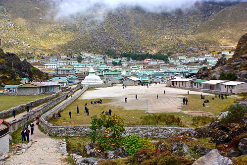
On the way back to Namche, we meant to take the path leading past the Everest View Hotel, but somehow miscalculated and took a path that connected to our original one. By 12:30, we were back in town and chatting with a guide about the possibility of getting a guide-porter to help us with the difficult passes and our overloaded packs. (This is when I began regretting taking the iPad.)
After lunch, we made the mistake of catching the free 3pm showing of Into Thin Air, which left me feeling completely shaken up about the whole trek. If you don't know, it's Jon Krauker's account of the deadly 1996 expedition to Everest, which left five of his teammates (including two world-class climbers) dead. If there's one thing to take away from the movie it's that arrogance has no place on the mountain. Rob kept telling me that summiting the mountain was nowhere close to trekking around its bottom, but I was more sure than ever that I wanted a Sherpa guide to help us out.
Unfortunately, we had no luck securing a porter or a guide in Namche, so we unloaded what we could from our packs (some extra clothes, cases for the computers, rope, etc.) and went to bed hoping for a decent ascent the following morning.
Day 4: Namche Bazaar to Debuche (3820m) via Everest View Hotel (3889m) and Tengboche (3900m)
Stats: 5.5 hours trekking with pack
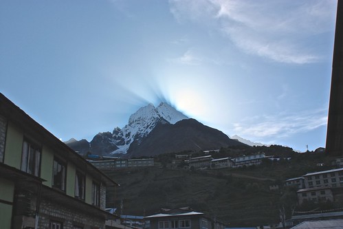
Lesson learned from the previous day's mistake of getting a late start, we left Namche at 7:30am to clear views in all directions. There's an easy route to Tengboche but we opted for the longer one past the Everest View Hotel, the highest hotel in the world.
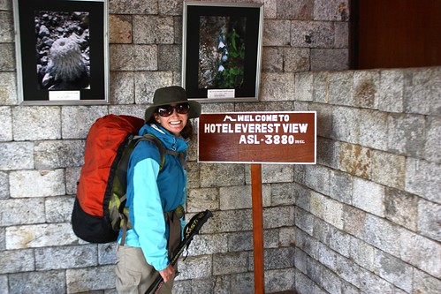
It meant hiking up to 3900m, descending to 3250m, and then hiking back up to 3900m, but we figured it would help with our acclimatization. Plus, it came with these views:
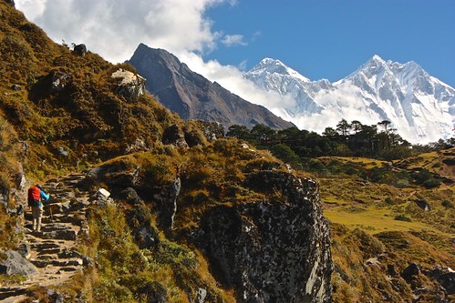
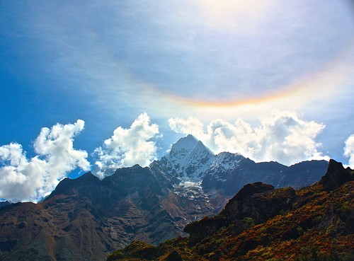
Our first spotting of Everest (8848m) and neighboring Lhotse (8414m) was enough to propel us to our first peak, where we snapped the obligatory shots but opted out of coffee.
Can you believe a hotel that charges US$200 per night doesn't have an espresso machine?
The descent down to join the standard route out of Namche was tough on the knees, but I did make an 11-year old friend who schooled me on the difference between a yak and a cow. "That is no yak, ma'am," he said, after I asked him after the animal's name. "That is a cow."
After about 3.5 hours on the trail, we came to the ascent from hell, which is how everyone describes the 500m up to Tengboche. In actuality, the going wasn't that bad despite the decrease in oxygen, but we were happy about our lightened loads for sure.
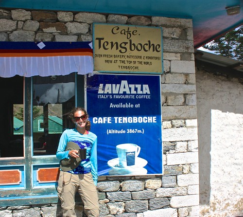
Apple pie and real espresso awaited us at the bakery at Tengboche, along with sweeping mountain views and an operating monastery.
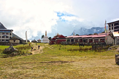
After lunch, we descended for about 15 minutes to the town of Deboche, where we found a room at the Rivendell Lodge. Rob was pretty excited about the Lord of the Rings connection, as the lodge was in fact located in a valley and accessible only by climbing a tall mountain pass.
We spent the afternoon enjoying lemon tea and the view of Everest from our window. So far, so good.
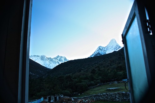
More Everest
For more detail on trekking days 5-8, 9-12, and 13-17, please click on the respective links. You can also check out our top tips for hiking Everest.
Interested in seeing Mount Everest and the Himalayas without the pain of trekking? Check out our Everest Three Passes photo tour.
You can also share your tips for trekking Everest on a budget by leaving a comment!
Comments